
Keep the path you took
A walk you can come back to.
A personalised hiking or walking route print turns a recorded journey into artwork for your wall. It might be a summit walk, a coastal path or a favourite local loop. Bring your Strava activity or GPX file, choose the map colours and add a place name or dedication.
Create your print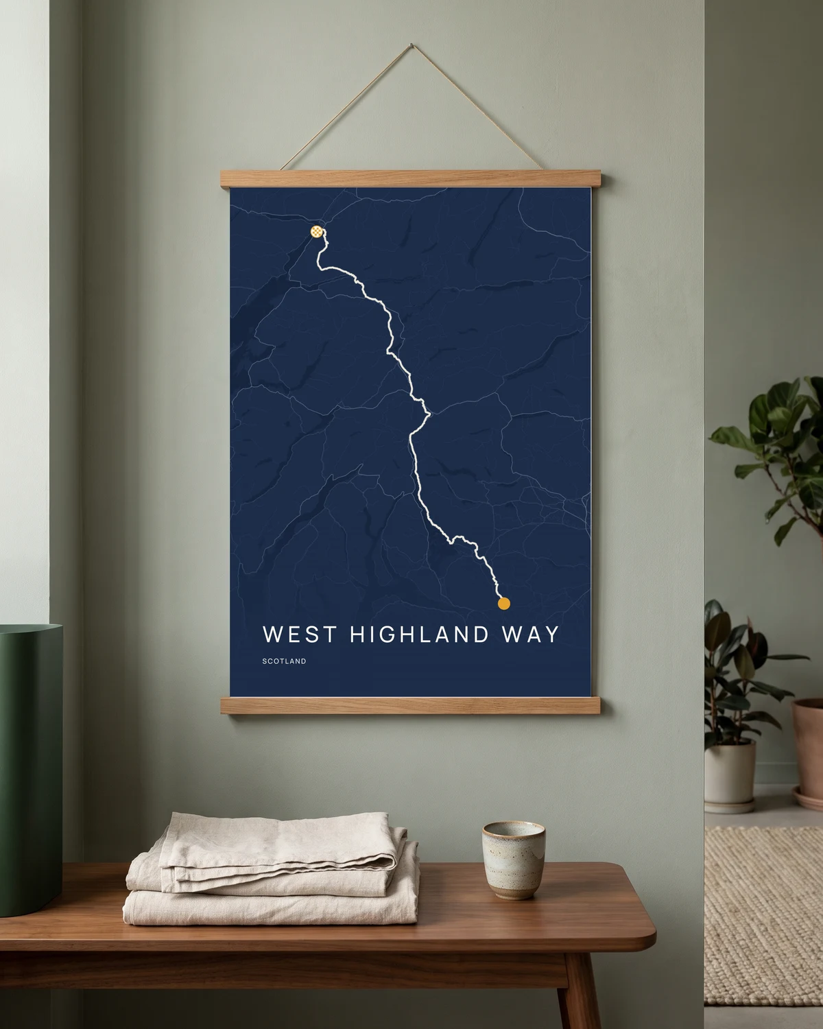
Start with your recorded path
Upload a GPX file or import a Strava activity with route data. Look over the start, finish and any gaps before designing. Atlas is not a source of trail directions, and a decorative print should not be used for navigation.
One day, or several memories
A single route can carry a whole story. To display three separate journeys together, Expedition Triptych uses three distinct selected routes, with editable panel captions and colours. Preview the complete composition before choosing the available size and finish.
Give the landscape some space
Try map colours and a title that suit the memory. Check the route and caption at the selected size, then review the frame or hanger choice before payment. Availability is shown in the editor.
Good to know
Your questions, answered.
Can I use a GPX from a walking app?
Yes, if the app lets you export a usable GPX route file. Check the import and complete proof before ordering.
Can I make a map without recording the walk?
You can create a place-based design. To show the exact path you walked, you need a route file or recorded activity; Atlas does not invent it.
Is a hiking print suitable as a gift?
You can design one with a route you have permission to use, or give a gift card so the recipient chooses their own journey.